Miles Without Stiles Shipley Bridge to Avon Dam
Route Details
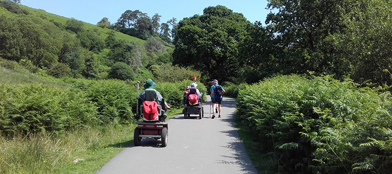
Route type: For All. A gentle gradient route with a wide, tarmac road and located in a sheltered valley setting.
Disabled Ramblers Category Level: 1
Distance: 1km & 1.75km to picnic tables, 2km to base of Avon Dam.
Start point: Shipley Bridge car park SX681629. What3Words: breaches.vies.riverbank
Getting there: The car park (pay and display) and toilets are found just off the road bend near the bridge on the western side of river, approx. 1km north of Didworthy, 3 miles north west of South Brent.
Facilities: Disabled public toilets next to car park (no radar key needed)
Download route
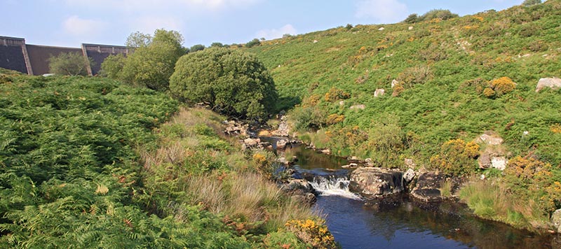
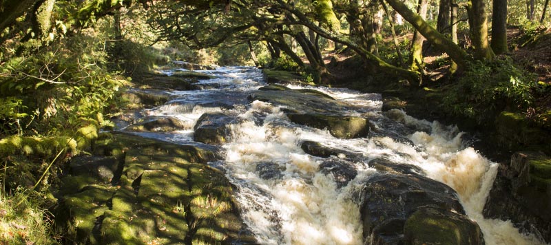
This pleasant route follows the river upstream from Shipley Bridge car park towards the Avon Dam. Initially, the route passes a series of small waterfalls through a treed area and then enters into open moorland. There are two picnic table locations; just after the first bridge and just before the second bridge.
Directions
- Exit the car park by passing the toilet block and after 20 metres or so join the tarmac surface.
- Once you have reached the tarmac turn left and follow this surfaced route all the way to near the base of the dam.
- Return via the same route.
Did you know?
- The River Avon begins its life at Avon Head Mires, near Ryder’s Hill the highest part of the southern moor, and flows all the way to the coast at Bigbury on Sea; a journey of around 25 miles.
- Avon is the Celtic word for ‘river’.
- The dam was built in 1957 to supply drinking water to the growing towns in South Devon.
- The area also has an industrial heritage of quarrying for naphtha and china clay.
- Keep an eye out for dippers and grey wagtails down along the river, buzzards and ravens further up the valley.